Gray's 1882 Map of New Bern, NC
Description:
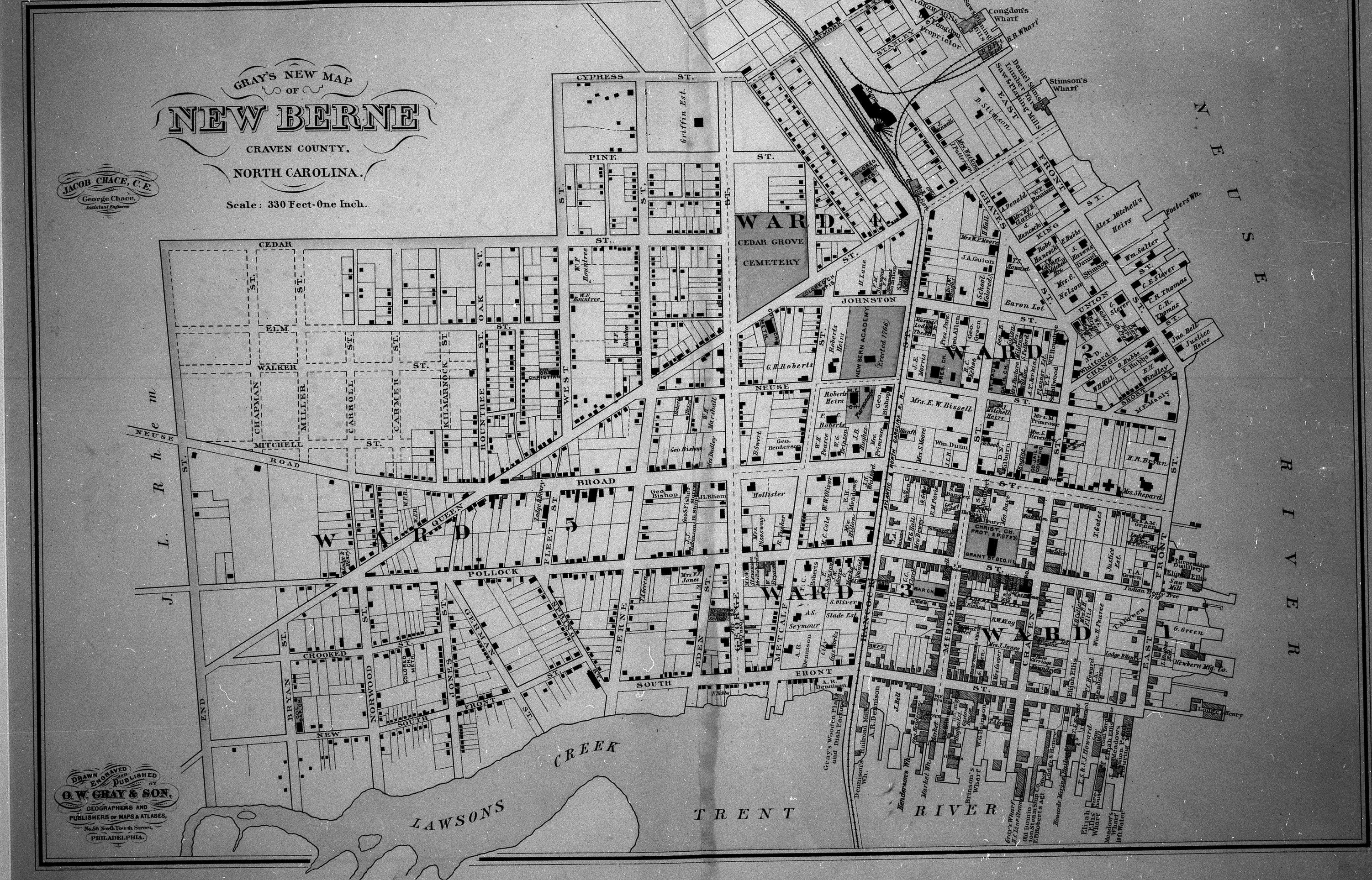
A detailed 1882 map by Gray showcasing the street layout and landmarks of New Bern, North Carolina, bordered by the Neuse and Trent Rivers. The New Bern Historical Society owns the digital copy of this image.
Identifier:
NB.2024.13.1766
Creator:
Benners, Billy
Contributor:
New Bern Historical Society; Gifted by Norman Kellum
Date:
1882
Subject:
Maps
Coverage:
1880s; New Bern, North Carolina
Publisher:
O W Gray and Son, Inc
Type:
Still image
Format:
.JPG
Language:
English
Rights:
© New Bern Historical Society. Some rights reserved. See the Rights page for details.

Comments
No comment yet! Be the first to add one!